Land Survey & Leveling Survey Services
we offer accurate and dependable Land Surveying and Leveling Survey services to support land development, construction planning, and engineering design. Whether you're preparing a residential plot, commercial project, or infrastructure site, we deliver detailed elevation and boundary data that forms the foundation of every successful build.
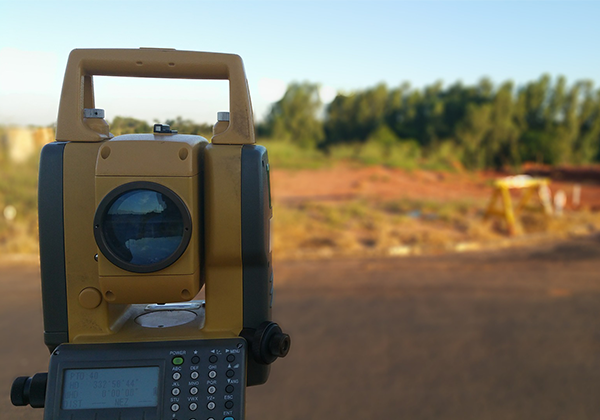
What is a Land & Leveling Survey?
A Land Survey defines property boundaries, maps existing features, and provides measurements essential for planning and legal documentation.
A Leveling Survey determines the elevation of land surfaces to identify slopes, high/low points, and ensure proper site grading for drainage, construction, or landscaping.
Together, these surveys ensure your project starts on a solid, informed base.