
Description.
DDA As-Built Survey Services
we provide professional DDA As-Built Survey services tailored to meet the requirements of Dubai Development Authority (DDA). Our expert team ensures your construction or modification project complies with regulatory standards by delivering precise and detailed as-built documentation.
What is a DDA As-Built Survey?
A DDA As-Built Survey is a crucial step for obtaining completion certificates and ensuring regulatory approval in Dubai. It documents the final state of a construction project after completion, accurately reflecting all structural, architectural, and service elements as they were built on site.
Demarcation Survey Services
we offer precise and reliable Demarcation Survey services to define legal land boundaries for residential, commercial, and industrial projects. Whether you're preparing for construction, land purchase, fencing, or legal documentation, our expert surveyors ensure clarity, compliance, and confidence.
What is a Demarcation Survey?
A Demarcation Survey is a land survey process used to physically mark and verify property boundaries based on legal ownership documents and official cadastral maps. This survey is essential to prevent encroachment issues, legal disputes, and construction errors.
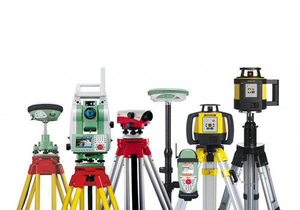
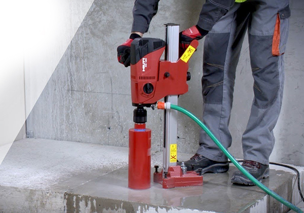
Equipment Rental Services
we provide top-quality equipment rental services for construction, industrial, and infrastructure projects across UAE. Whether you need machinery for a short-term task or long-term project support, we offer a wide range of well-maintained equipment to meet your needs—efficiently and affordably.

Gate Level Fixing Services
we offer specialized Gate Level Fixing services to ensure that your property’s entry points are properly aligned with surrounding road levels, drainage, and site elevations. Whether for residential, commercial, or industrial sites, we provide precise leveling that supports structural integrity, accessibility, and water management.
What is Gate Level Fixing?
Gate Level Fixing involves determining and setting the correct elevation (height) of a gate entrance in relation to the finished road level, plot layout, and site grading. It’s a crucial part of site preparation and civil work that prevents future issues such as flooding, uneven access, and structural misalignment.

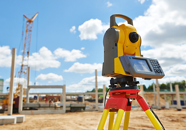
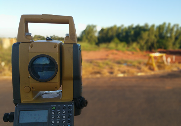
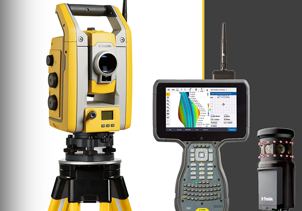
GPS & Total Station Survey Services
we provide advanced GPS and Total Station Survey services tailored for construction, infrastructure, land development, and engineering projects. With a commitment to accuracy and efficiency, our experienced surveyors utilize state-of-the-art technology to deliver precise measurements and reliable data for all types of sites.
What is GPS & Total Station Survey?
GPS (Global Positioning System) survey uses satellite signals to determine exact coordinates and elevations on the Earth's surface, making it ideal for large-area mapping and geodetic work.
Total Station Survey combines electronic distance measurement (EDM) and angular measurement to capture highly accurate 3D coordinates, making it perfect for construction layouts, boundary marking, and detailed site analysis.
Together, these methods deliver comprehensive spatial data for design, planning, and execution.
Land Survey & Leveling Survey Services
we offer accurate and dependable Land Surveying and Leveling Survey services to support land development, construction planning, and engineering design. Whether you're preparing a residential plot, commercial project, or infrastructure site, we deliver detailed elevation and boundary data that forms the foundation of every successful build.
What is a Land & Leveling Survey?
A Land Survey defines property boundaries, maps existing features, and provides measurements essential for planning and legal documentation.
A Leveling Survey determines the elevation of land surfaces to identify slopes, high/low points, and ensure proper site grading for drainage, construction, or landscaping.
Together, these surveys ensure your project starts on a solid, informed base.
Topographical Survey Services
we specialize in accurate and comprehensive Topographical Surveys that provide essential data for planning, design, and construction. Our surveys help engineers, architects, planners, and developers understand the natural and man-made features of a site—ensuring smarter decisions and successful project execution.
What is a Topographical Survey?
A Topographical Survey (also known as a Topo Survey) is the process of mapping the elevation, contours, and physical features of a land area. It records natural features like hills, valleys, trees, and water bodies, as well as built elements such as roads, buildings, fences, and utilities.These surveys form the base layer for all types of construction, infrastructure, and landscape development projects.
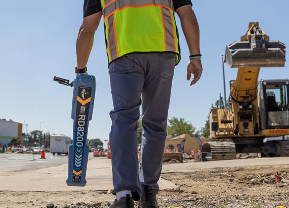
Underground Survey Services
we provide expert Underground Survey services designed to accurately locate and map underground utilities, structures, and anomalies before excavation or construction work begins. Using cutting-edge technology, our surveys help you avoid costly damages, project delays, and safety hazards.
What is an Underground Survey?
An Underground Survey involves the detection and mapping of buried assets such as electrical cables, gas lines, water pipes, sewer systems, telecommunications infrastructure, and other underground utilities. This non-invasive process is crucial for planning safe excavations and preventing accidental strikes.