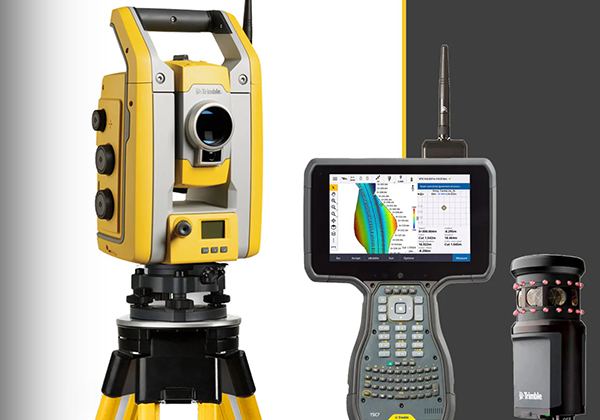
Topographical Survey Services
we specialize in accurate and comprehensive Topographical Surveys that provide essential data for planning, design, and construction. Our surveys help engineers, architects, planners, and developers understand the natural and man-made features of a site—ensuring smarter decisions and successful project execution.
What is a Topographical Survey?
A Topographical Survey (also known as a Topo Survey) is the process of mapping the elevation, contours, and physical features of a land area. It records natural features like hills, valleys, trees, and water bodies, as well as built elements such as roads, buildings, fences, and utilities.These surveys form the base layer for all types of construction, infrastructure, and landscape development projects.

